Infrastructure problems rarely begin when crews arrive on-site. In many cases, the real issues started months earlier: during planning, coordination, data collection, or communication between stakeholders.
Across broadband, utility, and infrastructure projects, the same problems continue to surface:
- Incomplete or outdated records
- Disconnected stakeholders working from different information
- Inaccurate GIS data
- Unrealistic schedules disconnected from field realities
- Lack of field verification before construction begins
When these issues go unresolved early, they create a chain reaction that impacts engineering, permitting, scheduling, construction, municipalities, and ultimately project costs.
Successful infrastructure execution does not begin with excavation equipment or construction mobilization. It begins with alignment.
The companies that consistently deliver successful projects are the ones that reduce uncertainty before construction ever starts.
The Hidden Cost of Misalignment
Infrastructure projects involve multiple moving parts operating simultaneously:
- Engineering teams
- GIS and mapping stakeholders
- Utility owners
- Municipal leadership
- Program managers
- Field crews
- Contractors and subcontractors
When these groups are not aligned early, small problems become expensive delays.
A broadband deployment may move into construction before utility conflicts are fully identified. A municipality may approve timelines based on incomplete information. Engineering plans may rely on outdated records that do not match actual field conditions. Multiple contractors may begin work without a shared understanding of project status or responsibilities.
The result is often the same:
- Delays caused by poor coordination
- Rework tied to inaccurate information
- Schedule misses that impact funding timelines
- Communication breakdowns between teams
- Increased project costs and operational frustration
In utility and broadband construction, many of the most expensive problems are preventable. They happen because stakeholders are reacting to issues instead of identifying them proactively.
This is especially true on complex projects involving broadband deployment, utility relocation, multi-contractor coordination, or active municipal infrastructure environments.
Strong infrastructure execution requires more than technical capability. It requires visibility, communication, and operational alignment before work begins.
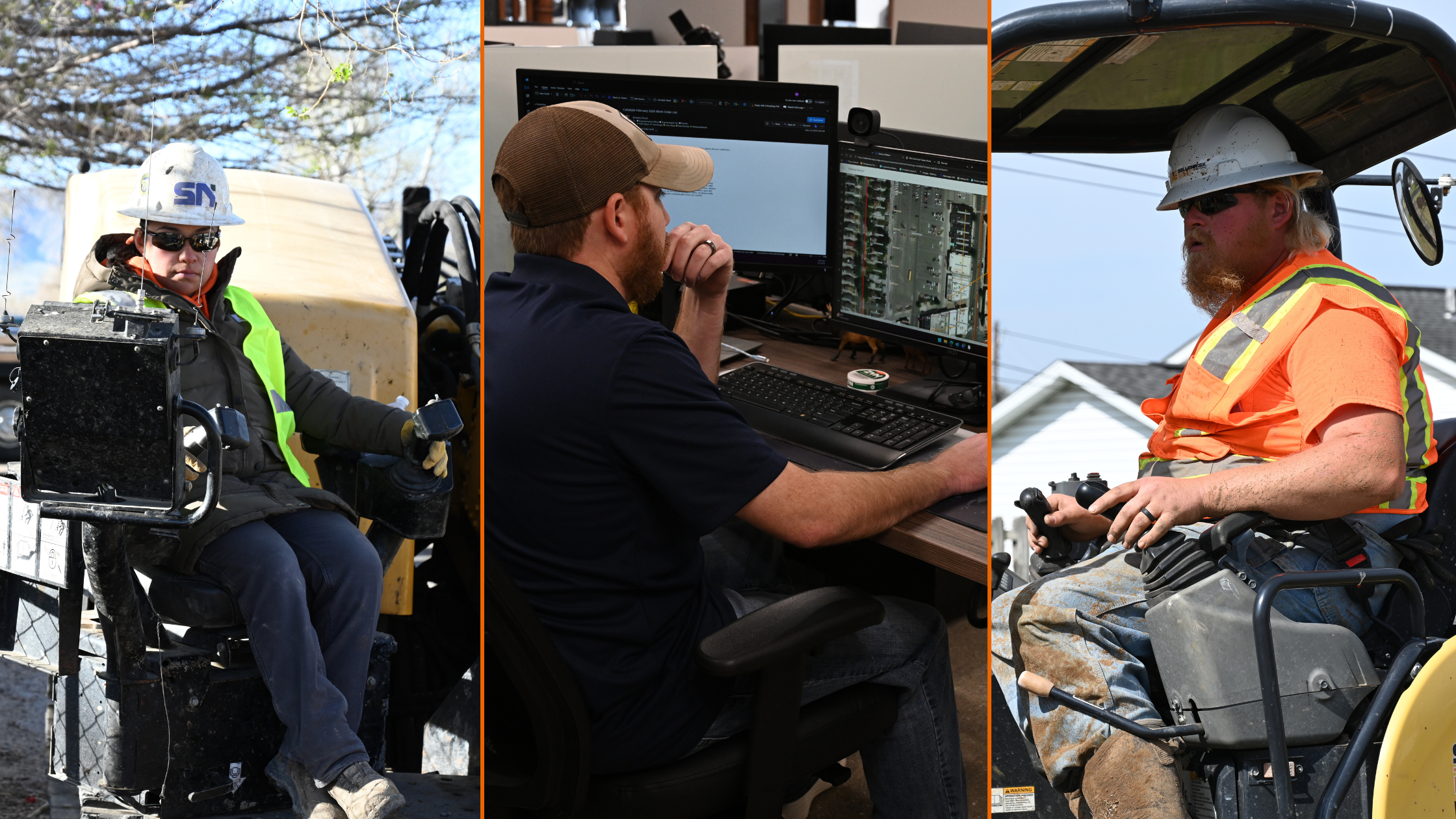
Why Visibility Changes Everything
One of the biggest challenges in infrastructure planning is that different stakeholders often operate with different levels of visibility.
Executives may only see high-level timelines. Municipalities may only receive periodic updates. Field teams may not have access to the latest engineering information. Engineers may not have complete field verification data.
Without shared visibility, decision-making slows down and accountability becomes harder to maintain.
This is why real-time project visibility has become increasingly important across modern infrastructure projects.
The Sellenriek Family of Companies emphasizes field-informed planning and transparent communication throughout the project lifecycle. Through tools like BuildSource dashboards, stakeholders can gain clearer visibility into project progress, milestone tracking, and operational status.
Different stakeholders benefit from visibility in different ways:
Executives Want Confidence
Leadership teams need confidence that schedules, budgets, and operational goals remain on track. Visibility helps reduce surprises and improve strategic decision-making.
Municipalities Want Accountability
Municipal stakeholders need transparency around timelines, progress, disruptions, and coordination efforts. Visibility helps strengthen trust and improve communication with communities.
Field Teams Want Clarity
Construction crews and field personnel need accurate information to execute safely and efficiently. Clear communication reduces confusion and improves coordination on-site.
Engineers Want Accurate Information
Engineering decisions are only as reliable as the information supporting them. Field-informed data and real-time updates help improve design quality and reduce downstream issues.
Infrastructure projects become significantly more manageable when everyone is working from the same understanding of the project.
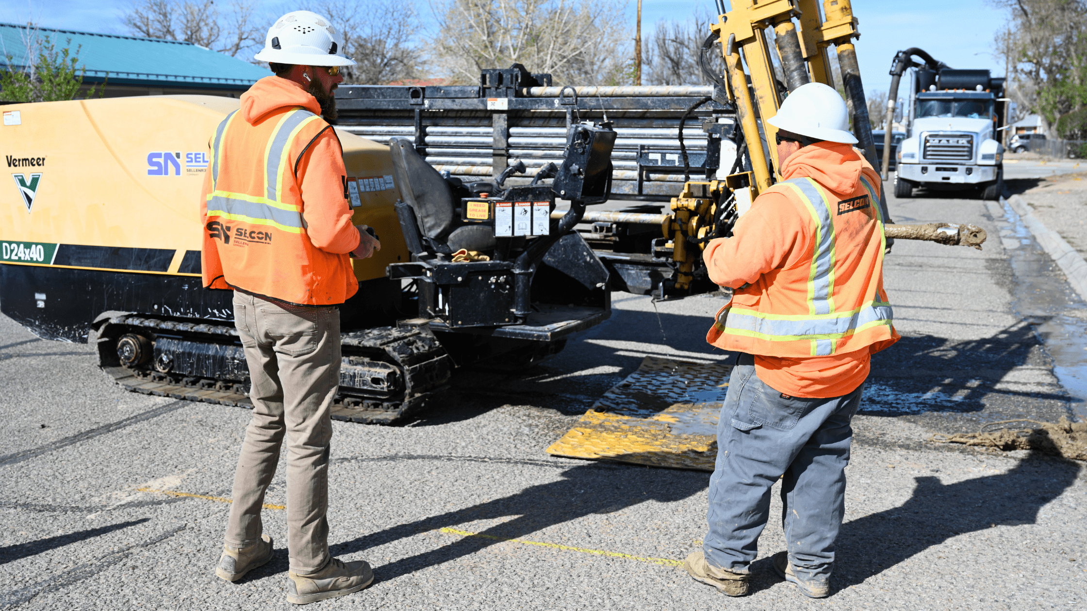
Field Verification vs. Assumptions
Many infrastructure projects still rely heavily on paper maps, fragmented records, spreadsheets, disconnected systems, or institutional knowledge that exists only in conversations or individual experience.
The problem is that assumptions create risk.
When field conditions differ from existing records, teams are forced into reactive decision-making during construction. That often leads to delays, change orders, utility conflicts, rework, and avoidable excavation risk.
Field verification helps reduce that uncertainty.
GPS verification, GIS cleanup efforts, and damage prevention integration help create more accurate project information before excavation begins. Instead of relying solely on assumptions or outdated documentation, infrastructure teams can make decisions using field-informed data.
This directly impacts:
- Safer excavation practices
- Reduced rework
- Improved coordination between teams
- More accurate planning
- Better communication throughout the project lifecycle
Accurate information is no longer optional in modern utility and broadband infrastructure environments. As projects grow more complex, field verification becomes increasingly important for reducing operational risk.
What Long-Term Partners Actually Want
Long-term infrastructure partnerships are rarely built solely on price.
Municipalities, utility cooperatives, broadband providers, and infrastructure stakeholders want partners they can rely on consistently over time.
That typically comes down to a few core things:
- Transparency
- Accountability
- Realistic communication
- Consistency
- Reliable execution
Strong partnerships are built when expectations are communicated clearly, and follow-through matches commitments.
The Sellenriek Family of Companies continues to position itself around relationship-driven delivery and proactive problem-solving across engineering, GIS, damage prevention, project coordination, and construction services.
The expectation is straightforward:
When we say we’ll do something, we do it.
That mindset matters because infrastructure projects are becoming increasingly interconnected. Engineering impacts construction. GIS impacts planning. Damage prevention impacts safety. Communication impacts every stage of execution.
The most successful projects happen when stakeholders operate as aligned partners instead of disconnected vendors.
Conclusion
Infrastructure projects are becoming more complex, more connected, and more dependent on accurate information and proactive coordination.
Alignment is no longer optional.
Projects succeed when engineering, GIS, construction, damage prevention, and project coordination work together from the beginning, not after problems appear in the field.
The companies that reduce risk most effectively are the ones that identify issues before construction crews ever mobilize.
To learn how the Sellenriek Family of Companies helps infrastructure partners reduce risk, improve visibility, and build with confidence, explore our services and capabilities.
Why do infrastructure projects experience delays before construction starts?
Many delays occur because of incomplete records, inaccurate GIS data, poor communication between stakeholders, utility conflicts, unrealistic timelines, or a lack of field verification before mobilization begins.
How does utility coordination reduce project risk?
Utility coordination helps identify conflicts, improve communication between stakeholders, align schedules, and reduce costly surprises during construction. Early coordination improves overall project execution and reduces delays.
What role does GIS data play in infrastructure planning?
GIS data helps stakeholders visualize infrastructure assets, improve planning accuracy, support engineering decisions, and create better operational visibility across projects. Accurate GIS information also helps reduce rework and excavation risk.
What is field verification in utility construction?
Field verification is the process of validating infrastructure conditions onsite using tools such as GPS data collection, inspections, and field observations to ensure project information matches real-world conditions before construction begins.
How do infrastructure dashboards improve communication?
Infrastructure dashboards provide centralized visibility into project status, milestones, progress tracking, and operational updates. This helps stakeholders make faster decisions and maintain shared project understanding.
Why is damage prevention important during broadband construction?
Damage prevention helps reduce excavation risk, avoid utility strikes, improve safety, minimize service disruptions, and support more accurate infrastructure planning during broadband deployment projects.