Utility maps play an important role in planning, engineering, maintenance, and construction. They help project teams understand what infrastructure may already exist, identify potential conflicts, and make better-informed decisions before work reaches the field.
But a line displayed on a map does not always represent the utility’s exact position underground.
That does not necessarily mean the map was carelessly created. Utility records are developed from information collected at different times, for different purposes, and with different levels of accuracy. Some may be based on original design documents. Others may incorporate field notes, construction redlines, survey information, or later GIS updates. When these sources are incomplete or are not carried forward into the system of record, uncertainty grows.
Understanding why utility maps can be inaccurate helps owners, engineers, municipalities, and contractors use them appropriately and recognize when additional verification is needed.
Older Records Were Not Always Created for Modern GIS
Many utility systems have been built, repaired, and expanded over several decades. Records from earlier projects may have been created on paper, drawn at a generalized scale, or referenced to landmarks that have since changed.
Some historical records were intended to show the basic configuration of a system rather than provide survey-grade coordinates. A map might indicate which side of a road contains a facility without documenting its precise horizontal position or depth.
Information can also be distributed across multiple systems. An owner may have design drawings, maintenance records, scanned documents, spreadsheets, and GIS data that each contain part of the story. If these sources are not reconciled, the map available to a project team may not reflect every known detail.
Digitizing an older drawing does not automatically improve the accuracy of its underlying information. It makes the record easier to access, but the digital line may still be based on a generalized or unverified source.
Field Conditions Change After the Original Map Is Created
A utility’s history does not end when its original construction is completed.
Facilities may be repaired, relocated, replaced, extended, or taken out of service. Crews may need to adjust an installation because of rock, groundwater, existing infrastructure, access restrictions, or another condition encountered during construction.
Those changes are not always transferred back into the permanent record.
A design may therefore show where a facility was intended to be installed, while the final alignment followed a slightly different path. If field changes were not documented through complete redlines or verified as-built information, future users may see the planned location rather than the installed location.
Abandoned facilities add another layer of uncertainty. A line may no longer be active but can remain physically present underground. If its status is not clearly documented, a future crew may not know whether it is active, abandoned, or absent until additional investigation occurs.
A Map Shows What Is Known, Not Necessarily Everything That Exists
One of the most important distinctions in underground utility mapping is the difference between where a utility should be and where field evidence indicates it is.
Existing records can provide valuable planning information, but they should not automatically be treated as precise field verification. The Federal Highway Administration identifies different quality levels for subsurface utility information. Information based only on existing records or recollections represents the most basic level, while higher levels incorporate visible features, surface geophysical methods, and physical exposure at critical locations.
This framework reflects a practical reality: different sources answer different questions.
A record can help establish that a utility is expected within a project area. Visible features such as pedestals, handholes, valves, or manholes may help teams interpret how that system is arranged. Locating equipment can provide evidence of an underground facility’s approximate horizontal position. Physical exposure can provide more precise information at a specific point.
No single source should be expected to answer every question across an entire project.
GIS, Surveying, Locating, Potholing, and Redlines Are Not Interchangeable
Improving utility data requires understanding what each information source contributes.
GIS organizes location-based information and connects mapped features with useful attributes, such as facility type, ownership, installation information, or operational status. It gives teams a shared way to view and manage data, but the reliability of the GIS still depends on the quality of the information entered into it.
Survey information establishes measured positions relative to an accepted coordinate system or project control. Surveying can accurately document visible features, designated marks, or exposed utilities, but it cannot independently confirm an unseen facility’s position without another method identifying or exposing that facility.
Utility locating uses available records, field observations, and appropriate equipment to identify and mark underground facilities. Locating is essential to damage prevention, but results can be affected by facility material, access, congestion, signal interference, depth, and the availability of tracer wire or other locating features.
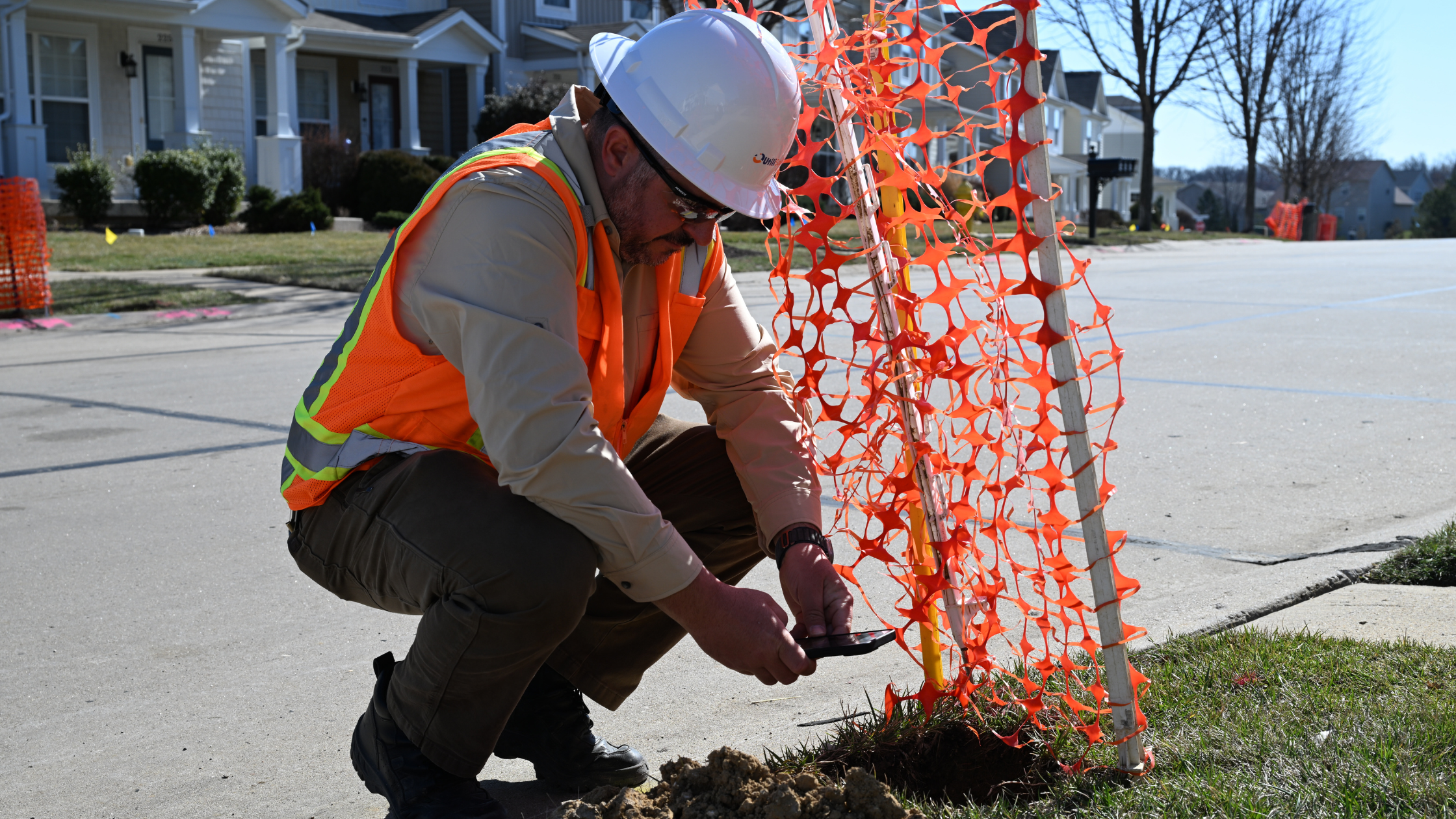
Potholing or test holes physically expose a utility at a selected location. This can confirm horizontal and vertical position at a critical conflict point, along with characteristics such as facility size or material. It provides strong point-specific evidence, but it does not expose every foot of the utility’s route.
Construction redlines document changes made during installation. They can capture differences between the issued design and completed work, but their future value depends on whether the information is complete, clear, and incorporated into the permanent record.
These methods are most useful when treated as connected parts of an information-management process rather than competing versions of the truth.
Better As-Built Information Supports Future Decisions
Verified as-built information can create value long after construction is complete.
When final field conditions are documented and transferred into the owner’s GIS or system of record, future teams begin with a stronger information foundation. That can support:
- More informed route planning and preliminary engineering
- Earlier identification of potential utility conflicts
- More efficient maintenance and emergency response
- Clearer communication among owners, engineers, locators, and contractors
- Reduced dependence on institutional knowledge held by individual employees
- Better preparation for future expansion or rehabilitation projects
This does not mean every uncertainty can be eliminated. Underground environments change, records come from many sources, and different decisions require different levels of verification. The goal is to make the quality and limitations of the available information visible.
A useful utility map should help users understand not only what is shown, but also where the information came from, when it was collected, and how confidently it can be used.
Utility Data Accuracy Is a Process
Utility maps are not static pictures. They are working records of infrastructure that continues to change.
Improving utility GIS data accuracy requires coordination from planning through construction and closeout. Existing records establish a starting point. Field investigation adds evidence. GIS connects information across teams. Redlines and verified as-builts carry what was learned back into the permanent record.
When those steps remain connected, each completed project can leave the next project with better information than it had before.
For utilities, cooperatives, municipalities, and broadband providers, that improvement can mean more than a cleaner map. It can support better planning, stronger project visibility, more confident field execution, and more informed long-term management of essential infrastructure.
Does an inaccurate utility map mean the GIS system is unreliable?
Not necessarily. GIS is a system for organizing and displaying information, but its accuracy depends on the source data. A GIS may contain a combination of generalized historical records, surveyed features, locate information, and verified as-built data. Documenting the source and confidence level of each feature helps users understand how it should be applied.
What is the difference between a utility map and a utility locate?
A utility map is a record used for planning, operations, or asset management. A locate is a field process used to identify and mark facilities based on available records, observations, and locating methods. Neither should automatically be interpreted as exact horizontal and vertical verification at every point.
Why is potholing used when a utility has already been mapped or marked?
Potholing physically exposes a facility at a selected location. It may be used when a project needs more precise horizontal and vertical information at a potential conflict point than records or surface locating methods can provide.
How can utilities improve GIS data accuracy?
Utilities can establish consistent data standards, preserve source information, connect construction redlines to closeout workflows, incorporate verified as-built information, and define responsibility for reviewing and updating permanent records.
How does field verification support utility construction?
Field verification helps teams compare available records with actual site evidence. This can reveal missing facilities, unexpected alignments, or conditions that require design or construction teams to reassess the planned approach.
Why are construction redlines important?
Redlines document differences between the issued design and what was installed in the field. When they are complete, reviewed, and incorporated into the permanent system of record, they can improve planning, maintenance, and mapping for future projects.